

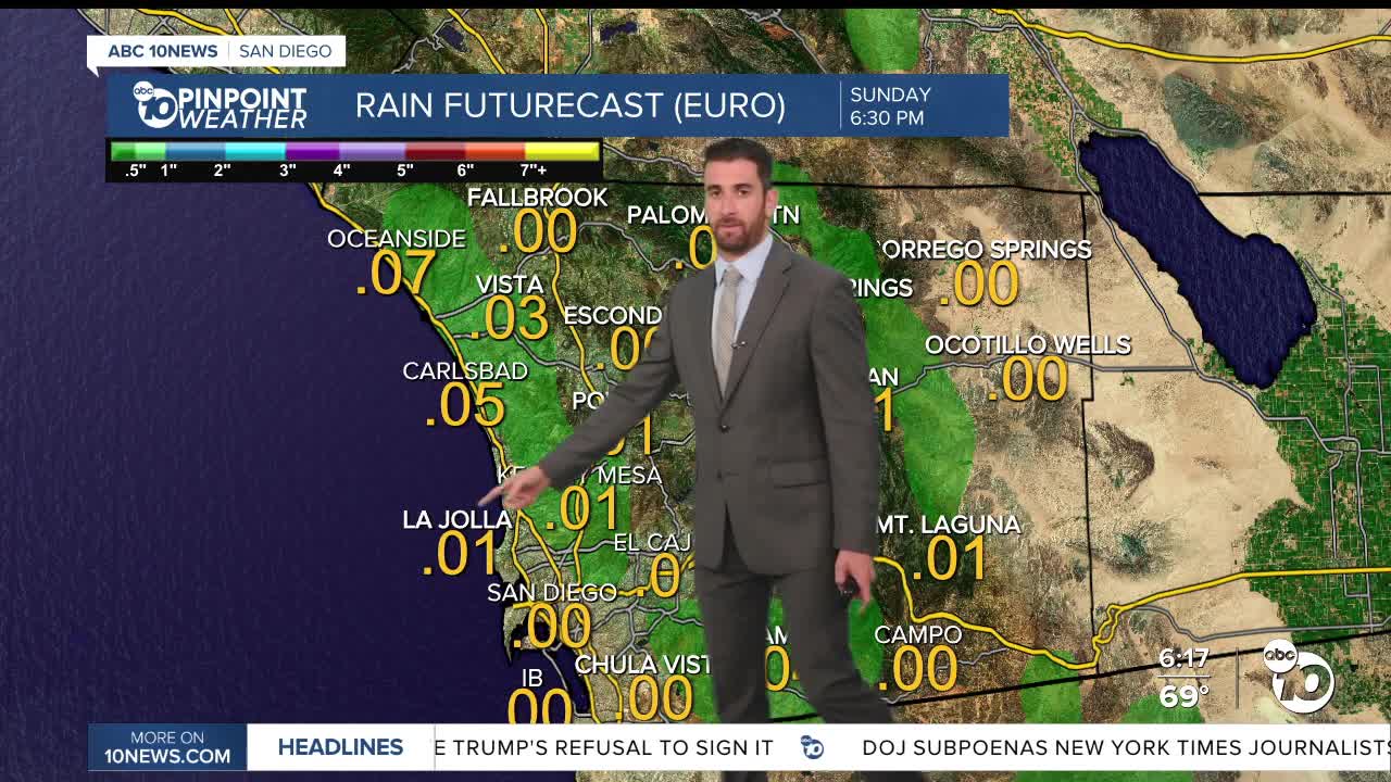


Shower and thunderstorm chances hit much of the region, from the inland valleys stretching into the deserts, most afternoons through the extended forecast starting Sunday.
Saturday even brought some sprinkles at times to the southern part of the coast and mountains, with light precipitation reported around the start of first pitch at the Padres game.
Those conditions will be short-lived, but will be back.
Sunday will begin on a foggy note for the coast and inland valleys.
It's also the beginning of a Beach Hazards Statement on from Sunday morning through Tuesday evening, with a high tide of 7-7.5 feet & peak surf of 3-5 feet which will result in coastal flooding and dangerous rip currents.
Partly cloudy skies will hang over for much of the day. Because of the monsoonal moisture and high humidity, thunderstorm chances are in the forecast for the coast and the mountains, albeit a slight chance (10-15%).
Rainfall totals will stay below a tenth of an inch.
Monday brings the highest possibility of showers and thunderstorms, with those afternoon and early evening chances potentially spill into the valleys and deserts.
The National Weather Service reports any storms may come with lightning, gusty and erratic winds and brief, heavy rainfall.
Tuesday appears to be dry, but warmer with everyone back up above average by a few degrees.
On Wednesday, temperatures climb a bit more and the shower and thunderstorm chances are back on through Saturday.
Around that time, the inland valleys and mountains will be into the 90s, with the coast in the 80s.
Relief on the back end is minimal west of the mountains, while daytime highs will drop off by about 10+ degrees in the mountains and deserts by Saturday.
Thursday appears to bring the most amount of rainfall, mainly in the mountains, but it will only be about a half an inch at most.
Through your entire extended forecast, outside of the mountains which could receive 025"-0.95", all microclimates should be about 0.25" or less.
Sunday's Highs:
Coast: 71-81°
Inland: 81-89°
Mountains: 85-93°
Deserts: 103-109°
Follow ABC 10News Weather Anchor Max Goldwasser on Instagram, Facebook and Twitter.
