

It's been a tale of two different forecasts — a warmer, sunnier weekend following rain, wind and much colder weather this week.
Here are a look at the some of the notable rain totals from Monday through early Friday:
Lake Cuyamaca: 7.53"
Julian: 5.96"
Alpine: 3.78"
Escsondido: 2.70"
Santee & La Mesa: 2.57"
Carlsbad: 2.15"
Not to mention, Mt. Laguna Lodge added 6" of fresh snow.
But that's all in the past. Let's look ahead to the future.
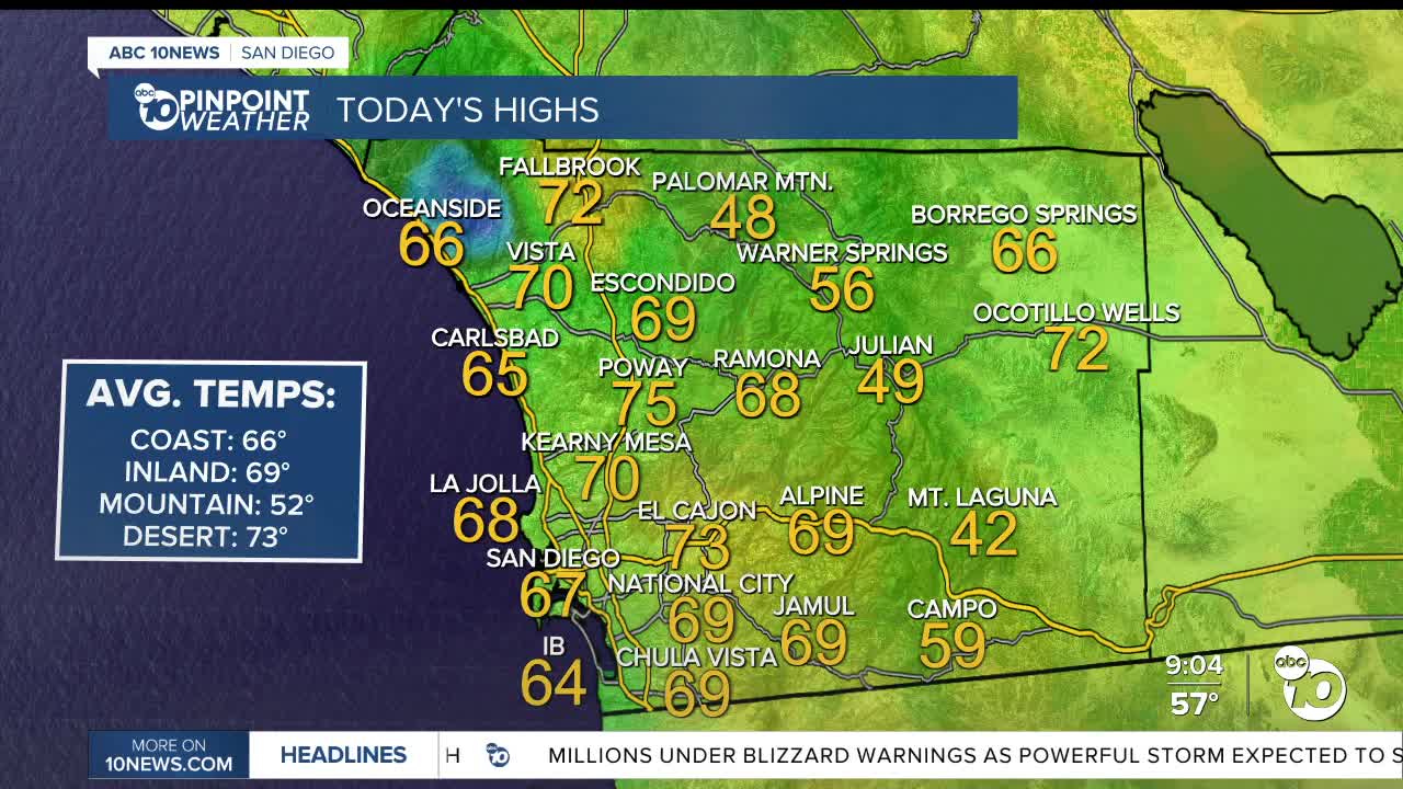
We are finally climbed back to average on the coast and in the valleys Saturday. Still, the mountains and deserts remain a few degrees below normal.
That changes Sunday, with everyone above average by 5-10 degrees despite a relatively cool start to the morning for some areas. The mountains, in fact, will see about a 10-12 degree bump in 24 hours.
That warming trend continues through the week, peaking around Friday when everyone is about 10-20 degrees above normal.
In fact, Lake Cuyamaca could set new records for Friday (75 degrees) and Saturday (73 degrees).
Combine that with mostly sunny to partly cloudy skies, calm winds and NO MORE CHANCES FOR RAIN in the forecast, it should be a nice string of days ahead!
Sunday's Highs:
Coast: 66-73°
Inland: 72-79°
Mountains: 56-70°
Deserts: 72-77°
Follow ABC 10News Weather Anchor Max Goldwasser on Instagram, Facebook and Twitter.
