



There is some minor relief in sight, but not before we get through one more day of heat alerts and a few with chances for showers and thunderstorms.
Sunday will start with some patchy morning fog for the coast and valleys.
Temperatures will range anywhere from 1-8 degrees warmer than normal. The coast will be in the mid-70s to mid-80s, the inland valleys and mountains in the 80s and 90s and the deserts up to 112 degrees.
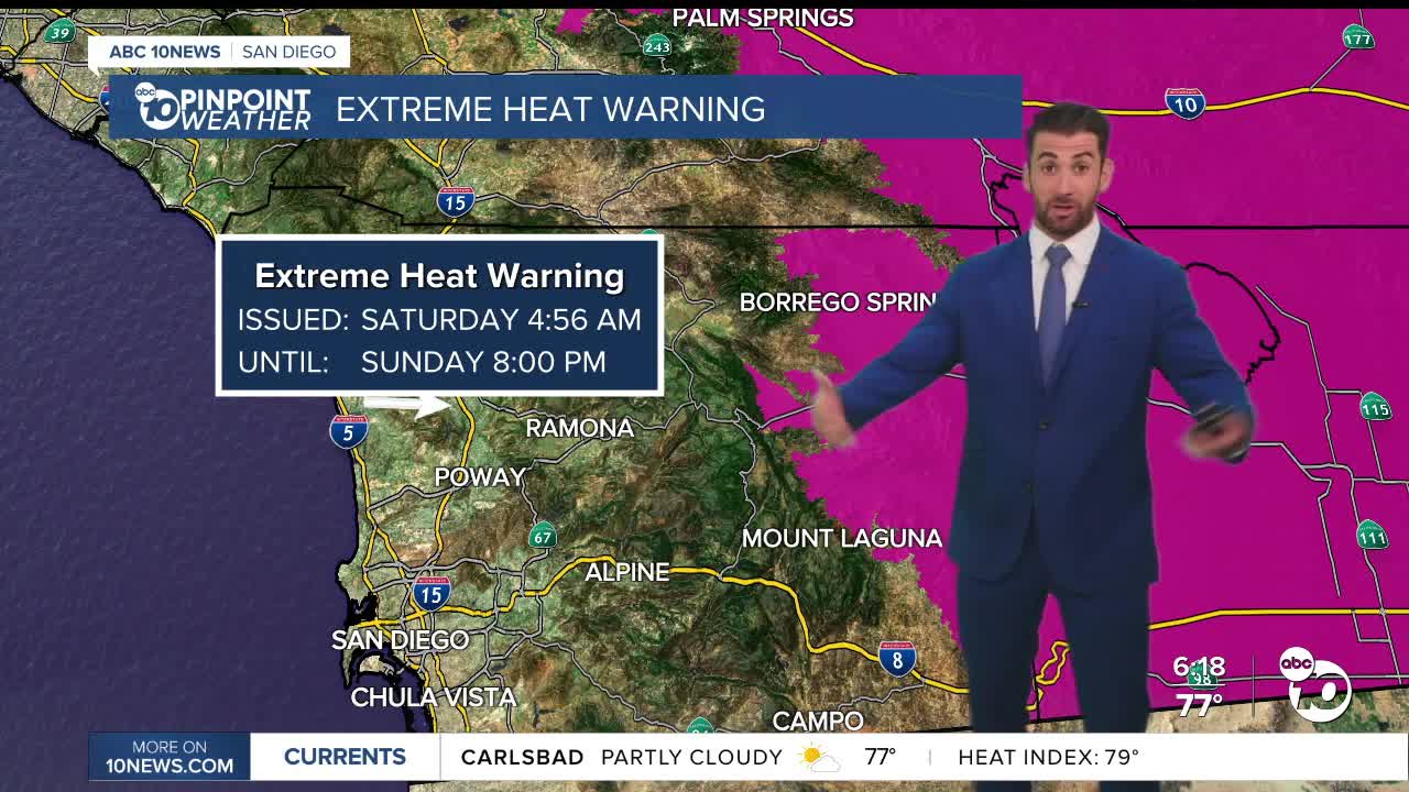
That's the hottest we will be for the foreseeable future. A Heat Advisory for the valleys and mountains, and an Extreme Heat Warning for the deserts, expires Sunday evening at 8 p.m.
Monsoonal moisture is sticking around too.
Sunday afternoon, a slight chance for showers and thunderstorms begins, repeating each afternoon through at least Tuesday.
Monday and Tuesday appear to bring the highest potential for thunderstorm activity over the mountains and could spread to the valleys and deserts.
Rainfall totals through the entire period will be minimal, with the highest amounts of 0.25" coming in Warner Springs and Mount Laguna.
Where thunderstorms develop expect erratic winds as well.
Temperatures will gradually decline through the week, bottoming out on Thursday and Friday when everyone is either at average or below by up to 8 degrees.
Sunday's Highs:
Coast: 76-86°
Inland: 86-95°
Mountains: 89-99°
Deserts: 106-112°
Follow ABC 10News Weather Anchor Max Goldwasser on Instagram, Facebook and Twitter.
