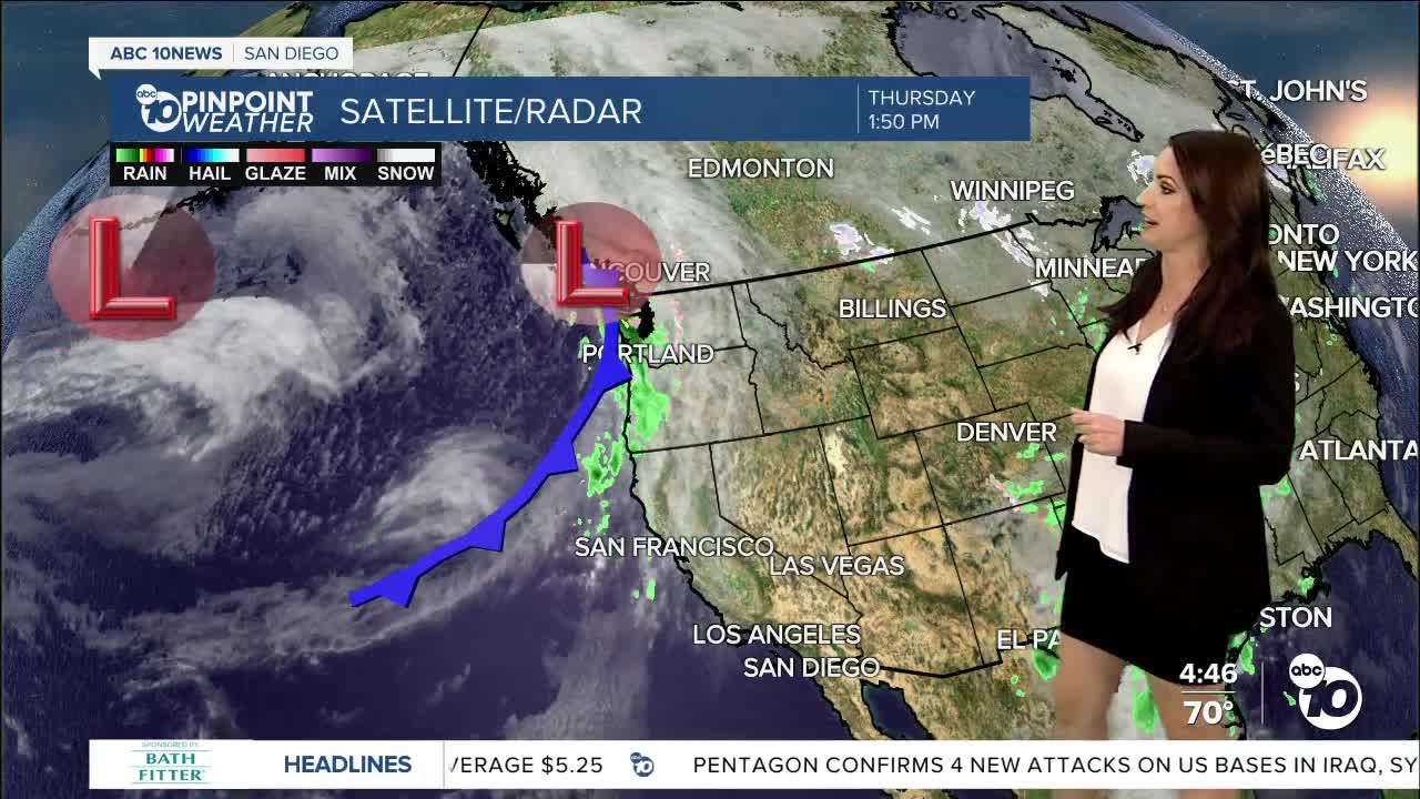
Our most recent Santa Ana wind event is coming to an end with the sea-breeze briefly returning tomorrow leading to a slight dip in temperatures and increasing clouds by the afternoon.
This weekend will be warmer with mid to upper 70s at the coast, 80s inland, 60s in the mountains and low 80s in the deserts under sunny skies. Expect weak Santa Ana winds this weekend with northeasterly winds of 15 to 25mph and gusts of 20 to 45mph with the strongest winds in the foothills and mountains and lowest humidity levels between 5 to 20%.
Onshore flow returns Monday with a significant storm system expected to sweep through California mid to late next week. There remains quite a bit of uncertainty with this forecast as the storm looks like it's going to stall off the California coast Tuesday into Wednesday likely bringing the most substantial rain Thursday or Friday. The track of this storm will determine how much rain we get and as it becomes a closed low offshore it makes the timing a little tricky.
We will likely see many changes to the forecast by the end of next week as we track this storm so be sure to stay with the Pinpoint Weather Team for updates on this welcome chance of rain.
Friday's Highs:
Coast: 68-75°
Inland: 73-80°
Mountains: 54-74°
Deserts: 77-81°
Follow ABC 10News Meteorologist Megan Parry on Facebook at Megan Parry 10News, Instagram @mis_meg_wx and Twitter @10NewsParry.


