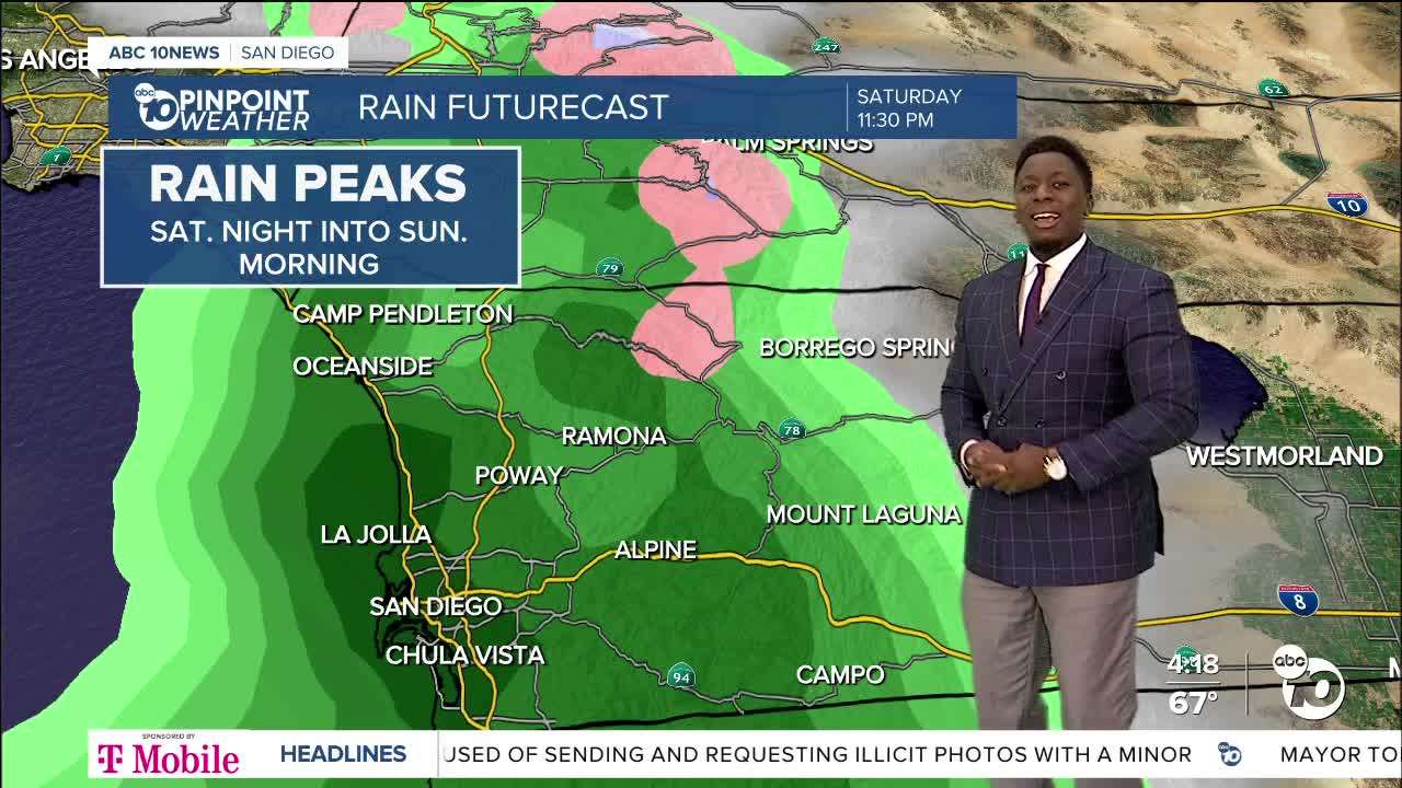
It's time to enjoy the sun while it lasts, because we have rain on the way this weekend! We'll notice subtle changes as soon as tomorrow.
Onshore flow will steadily increase tonight bringing gusty winds to the mountain slopes and deserts. By tomorrow, we'll have more scattered clouds and slightly cooler temperatures.
Showers will start on Saturday morning and break apart, becoming isolated towards the afternoon. Then, by the evening, we'll have a secondary round, which will sometimes be moderate to heavy. Towards the evening, the rain will transition to snow for elevations around 5,000'. By Sunday morning, Mount Laguna and Palomar Mountain may wake up to a dusting of snow. Showers will continue through Sunday morning, with the chance of thunderstorms, which could produce hail and heavy downpours. We likely dry out by Monday, but stray showers could continue to linger.
Preliminary rainfall totals range from .25-.75 inches, locally up to 1 inch.
As onshore flow increases this weekend, damaging winds will target the mountains and deserts with gusts up to 60mph and isolated gusts up to 70mph.
Elevated surf will be present across the beaches, and waves will peak on Sunday. A west-to-northwest swell will bring in 8 to 10-foot sets and strong rip currents.
A few light showers look possible Tuesday morning as a storm passes to the north, with another chance Thursday morning. A stronger storm could bring more widespread rain and gusty winds for Easter weekend, so stay with the Pinpoint Weather Team as we continue to track this weather pattern.
Friday's Highs:
Coast: 61-68°
Inland: 67-72°
Mountains: 56-68°
Deserts: 78-84°
Follow ABC 10News Weather Anchor Moses Small on Instagram, Facebook and Twitter.


