

Only minor changes ahead for San Diego County, with a deep marine layer persisting and temperatures remaining below normal.
The biggest difference comes with monsoon moisture slowly moving out of the region. It brough muggier conditions and minimal chances for thunderstorms in the mountains all weekend long, but the week ahead will be drier.
Winds will also pick up for the mountains and deserts over the next few days in the mountains and deserts, the strongest of which looks to come Tuesday evening. Sustained winds should remain between 10-20 mph, with some gusts surpassing 30+ mph, and an isolated gust or two in the deserts climbing up to 50 mph.
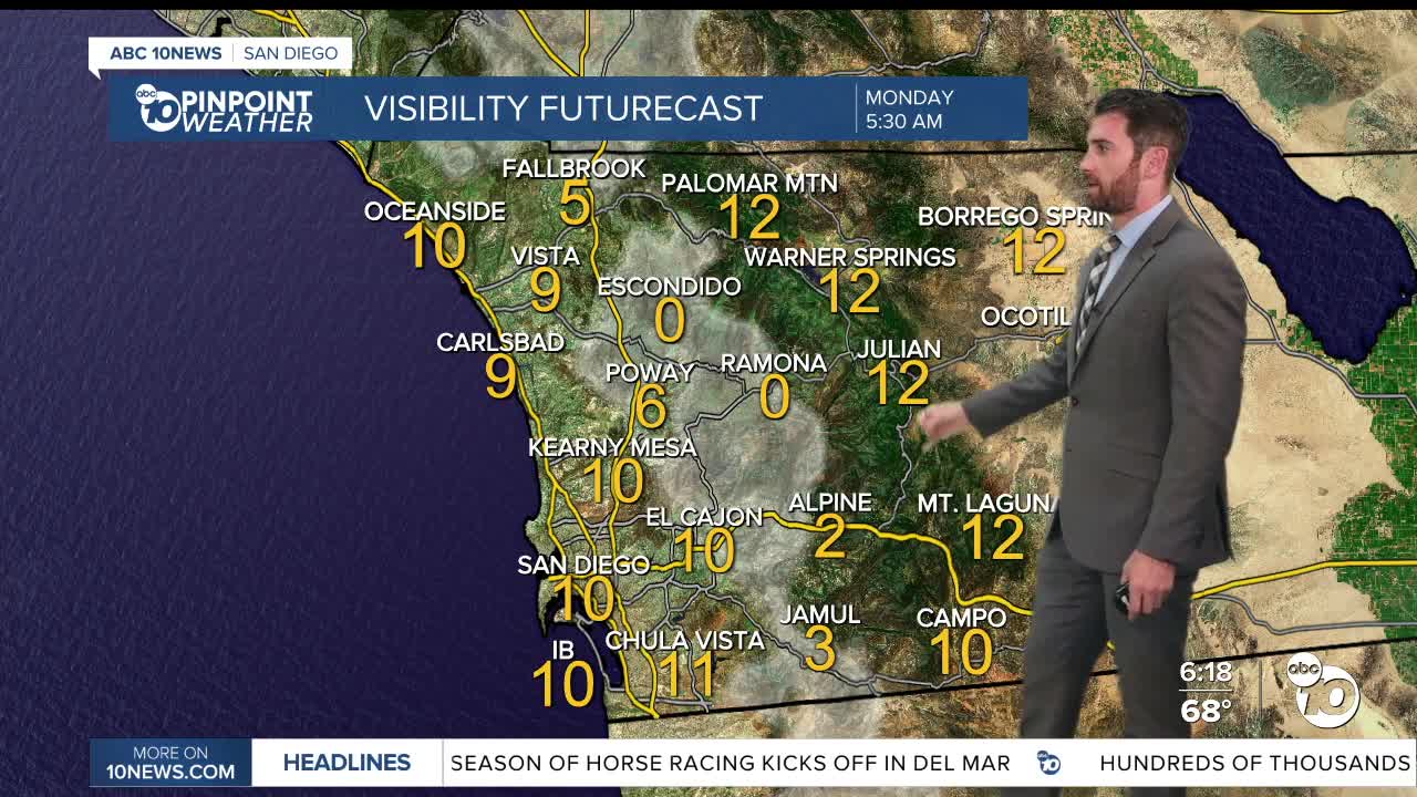
Other than that, we stay fairly consistent compared to where we've been. That means low overnight and morning clouds for the coast and fog for the valleys.
After sunrise, the valleys will join the mountains and deserts with sunny skies, while only partial clearing is expected on the coast. That should repeat on Tuesday before sunnier conditions return to the coast Wednesday and Thursday.
Temperatures will stay about 5-10 degrees below average across the board into next weekend.
Monday's Highs:
Coast: 68-75°
Inland: 75-83°
Mountains: 78-83°
Deserts: 98-103°
Follow ABC 10News Weather Anchor Max Goldwasser on Instagram, Facebook and Twitter.
