

We have more nice weather on tap for the rest of Comic-Con! We stay cool and mild through Saturday, with a warming trend beginning by the end of the weekend.
Expect low clouds this morning along the coast, with some areas of fog inland. The marine layer will mix out by noon for most areas, leading to significantly sunnier skies this afternoon.
Today’s highs will once again fall below seasonal averages. That means nice highs near 70 on the coast, and highs near 80° inland.
The mountains will largely reach mid 70s, while the deserts will see more triple digits.
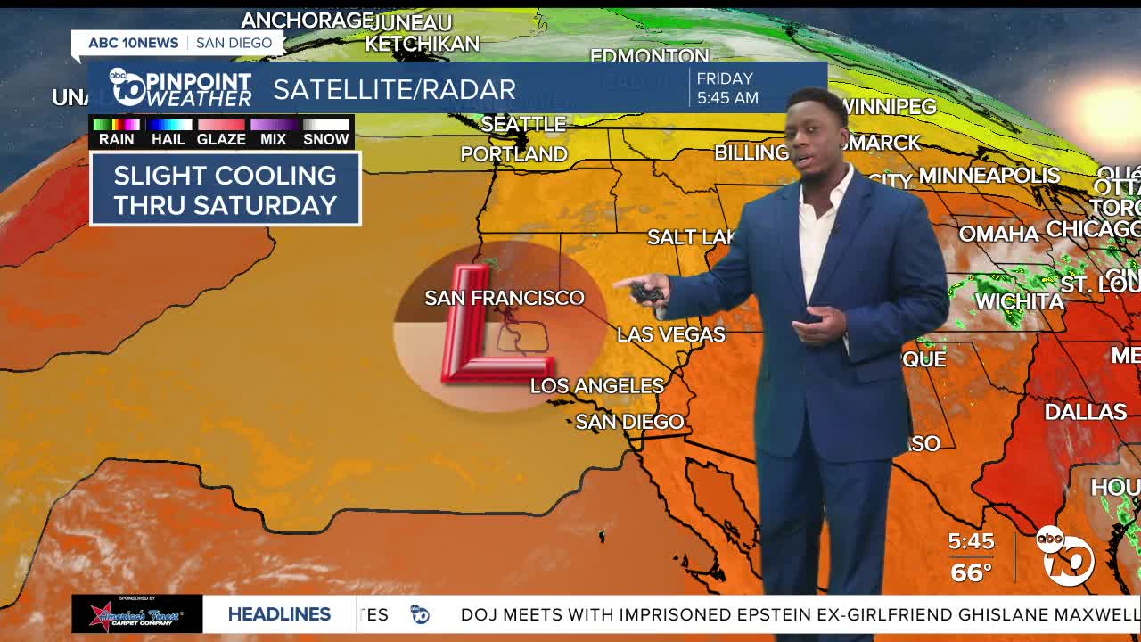
An area of low pressure will make its way inland tomorrow, leading to some continued cooling. This trend reverses Sunday, as high pressure builds to the east.
That system will bring warm, sinking air and increase temperatures.
This will be subtle along the coast, leading to mid 70s by Tuesday. Inland communities will get hot for the middle of next week as they’ll reach up near 90°.
There’s also a chance some monsoonal moisture could move into the county Wednesday and Thursday, which would increase humidity and bring a slight chance of thunderstorms in the mountains.
Friday’s Highs:
Coast: 69-75°
Inland: 78-83°
Mountains: 75-84°
Deserts: 98-104°
Follow ABC 10News Weather Anchor Moses Small on Instagram, Facebook and Twitter.
