

Rainfall totals averaged between .10 to .60" with Palomar Mountain picking up over an inch of rainfall with this latest storm. There is only a slight chance for any lingering showers into this evening, most of us will remain dry. Click here for rainfall totals where you live.
Tonight will be a chilly one with temperatures dropping into the low to mid-40s for the inland areas by tomorrow morning and 30s in the mountains. After tonight the nights won't be quite as chilly as high clouds will be in the mix keeping temperatures from cooling as efficiently. These clouds will continue through the day which will lead to anything from mostly sunny to mostly cloudy skies at times through Sunday.
Winds will taper off after sunset and pick back up again tomorrow afternoon, though not as windy as today, with northwesterly gusts of 10 to 25mph. Winds turn briefly offshore on Friday with easterly winds of 15 to 30mph inland to the mountains.
These weak Santa Ana winds coupled with high-pressure building will lead to a warm-up for Friday when temperatures will top out about 5 degrees above average which means 70s for most of the county! Nearly as warm on Saturday turning cooler Sunday into early next week as another storm system approaches San Diego.
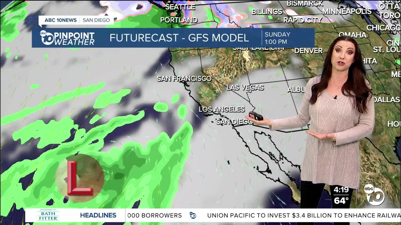
A colder storm is set to bring another round of rain, gusty winds and potentially high-elevation snow Monday into Tuesday. Like the last two storms, this one is also forecast to stall offshore so the timing and totals are subject to the ultimate track of where this storm goes so be sure to stay with the Pinpoint Weather Team for updates.
Thursday's Highs:
Coast: 60-65°
Inland: 63-68°
Mountains: 50-64°
Deserts: 72-74°
Follow ABC 10News Meteorologist Megan Parry on Facebook at Megan Parry 10News, Instagram @mis_meg_wx and Twitter @10NewsParry.
