

It was indeed a record cold morning, Ramona dropped to 22 degrees breaking the record of 25 degrees from 1990.
Tonight, clouds will increase, and temperatures won't be as cold. We'll see most areas in the 30s and 40s, for some of you it'll be 10 to 15 degrees better than last night.
Santa Ana winds will peak early Friday morning ranging from 30 to 45mph. Temperatures will improve gradually into the weekend. Saturday will be the warmest day of the week, inland valleys and deserts will see daytime highs getting close to 70 degrees.
Sadly, the warmup will be short lived with another chance for wet weather next week. We will see a mix of clouds and sunshine for the weekend into President's Day.
At this point Tuesday may have a chance for light showers, as a cut of low continues to trend farther south and west of our area.
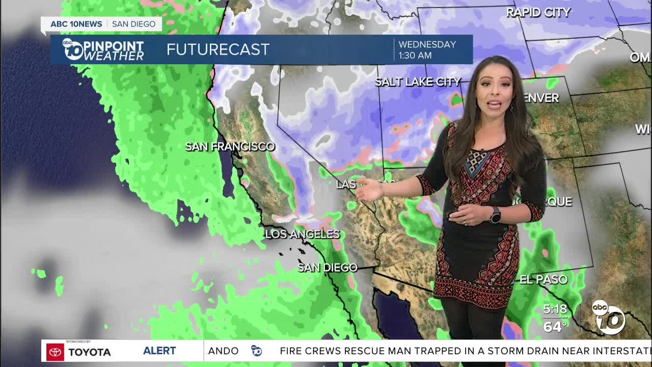
A stronger and much colder storm is setting up for the middle of next week. Our chances look much better for rain, snow, and gusty winds. The storm will knock temperatures back to below normal.
Stay with the Pinpoint Weather Team as we track more winter weather next week.
Friday's Highs:
Coast: 65-68°
Inland: 57-67°
Mountains: 45-54°
Deserts: 62-66°
Follow ABC 10News Meteorologist Angelica Campos on Facebook and Instagram @Camposcrusher and Twitter @10NewsCampos
