

Hot and humid conditions with monsoon moisture continue to bring us the chance of isolated showers and thunderstorms in the mountain and desert areas.
Today is the best chance for monsoon activity but a slight chance will continue through Wednesday. While peak activity will be over the mountains and deserts, a few storms could move west into the valleys and potentially all the way to the coast.
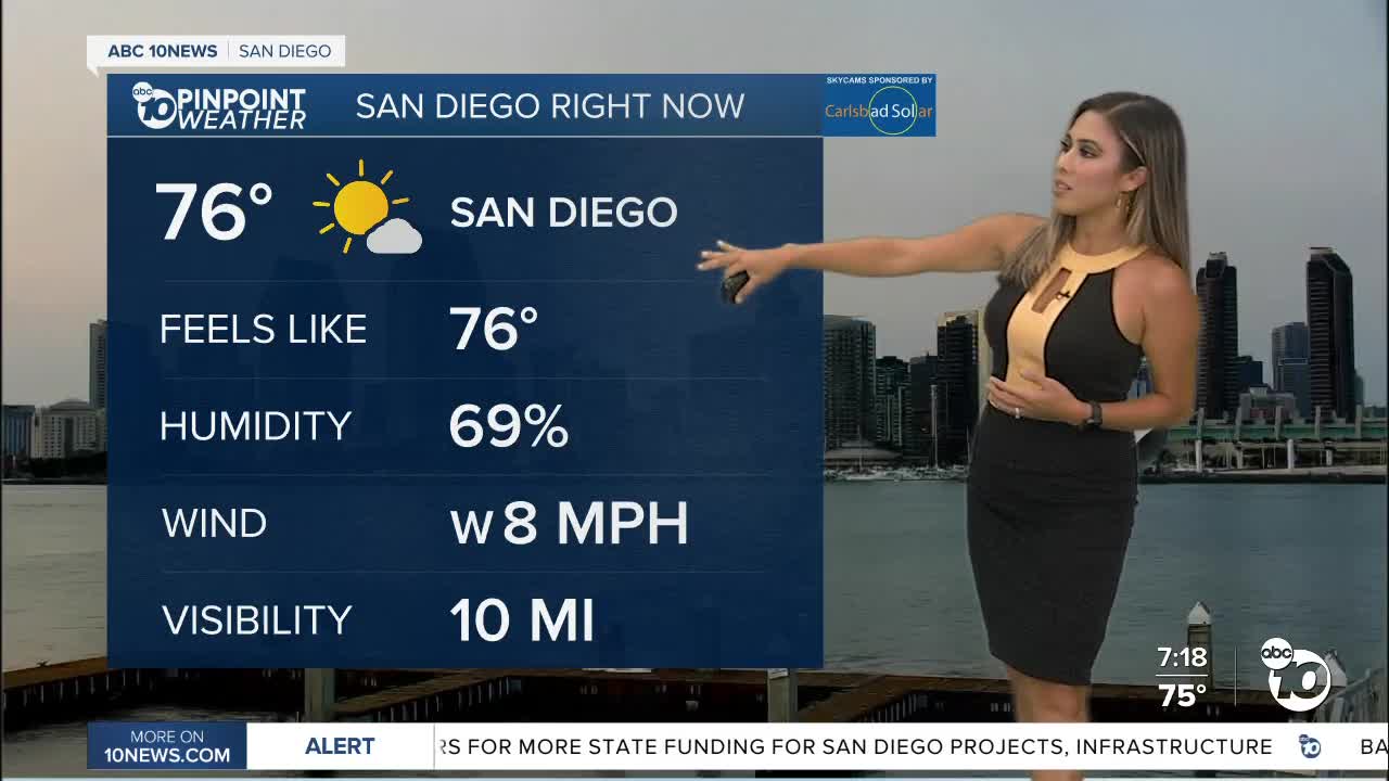
Tuesday morning will start with similar-like conditions as today, with the marine layer lingering later through the morning.
Smoke from wildfires burning to the north will move south through tomorrow with skies become red and hazy.
A trough of low pressure will develop to our north bringing a 5 to 10-degree drop in temperatures by Wednesday. Below normal temperatures will last through the weekend.
In addition to the cool-down, the humidity will also be trending downward making it feel a lot more comfortable across the county. The driest air will be away from the coast.
The marine layer will make an unseasonable return by midweek with clouds lingering along the coast. We may even squeeze out some marine layer drizzle to a few light showers overnight Tuesday into Wednesday morning and again Wednesday night into Thursday morning.
Tuesday's Highs:
Coast: 75-82°
Inland: 86-91°
Mountains: 83-93°
Deserts: 105-110°
Follow ABC 10News Meteorologist Vanessa Paz on Facebook at Vanessa Paz10News, Instagram @vanessapaz and Twitter @10NewsPaz.
