

The marine layer will spread father inland overnight into Wednesday morning as a trough of low pressure develops over the west. Patchy drizzle and fog will be possible with slower clearing into the afternoon and with high clouds building into the afternoon we'll see anything from mostly cloudy to mostly sunny skies at times tomorrow.
Thursday and Friday we'll see morning clouds and patchy fog clearing out to sunny skies, though stubborn clouds may linger near the coast into the afternoon.
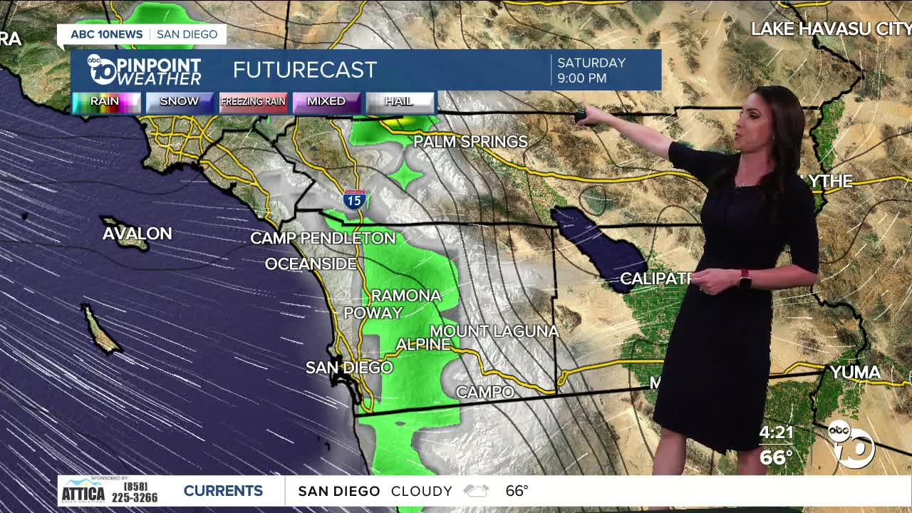
A cold storm will dive south over the weekend, bringing a 5 to 25-degree drop in temperatures by Sunday and a chance of showers from Saturday night through Sunday, potentially lingering into Monday. Accumulations will be light and comparable to what we saw this past weekend.
Gusty winds will target the mountains and deserts each afternoon through Thursday, with westerly gusts of 20 to 45 mph. Windier conditions are expected this weekend, when peak winds may exceed 50 mph.
Temperatures will trend near average across the county through Friday with 60s and 70s for most and 90s in the deserts. Sunday will be the coolest day of the week with temperatures topping out 8 to 25 degrees below average, with the biggest spread in the mountains and deserts.
On Sunday expect highs in the upper-50s to low-60s for the coast and valleys, 40s in the mountains and 70s in the deserts.
Monday will remain cool, though not as cold as Sunday with a slight chance of showers. Warmer and drier weather returns starting Tuesday.
Wednesday's Highs:
Coast: 62-71°
Inland: 72-77°
Mountains: 63-74°
Deserts: 90-93°
Follow ABC 10News Meteorologist Megan Parry on Facebook at Megan Parry 10News, Instagram @mis_meg_wx and Twitter @10NewsParry.
