UPDATED: NOV. 4, 2020
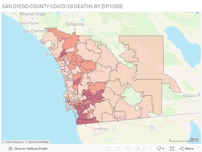
SAN DIEGO (KGTV) -- Interactive heat map shows how San Diego County health officials are recording COVID-19 deaths by ZIP code.
To interact with map, use any of the tools in the tool bar located in the top left corner.
MORE: VIEW DEMOGRAPHIC DATA ON COVID-19 CASES IN SAN DIEGO COUNTY
You can draw a section of the map to pull data for that area using the lasso tool, use your mouse or touch pad to click inside any of the outlined territories, or hover to discover number of cases by ZIP code (see screen grab below).
Note: Number of deaths is not displayed for ZIP codes with counts between 1-5. ZIP Code is ZIP code of residence, which may not be location of exposure. Data is preliminary and subject to change.