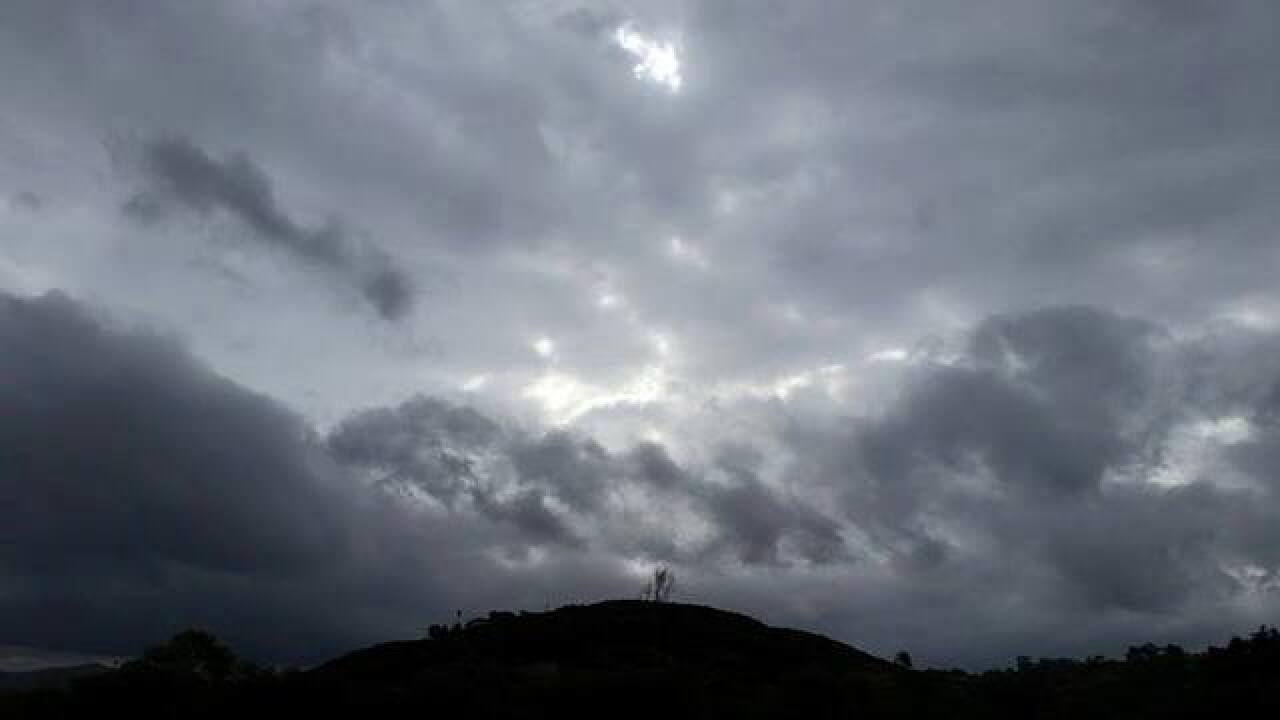
Monsoon season began June 15 and is starting with a bang!
Active weather is impacting states across the Pacific Southwest, with a solid line of storms moving through the eastern parts of San Diego County as of Wednesday afternoon. Some moisture has moved west of the mountains, giving places like Poway 0.17" of rain and Escondido 0.07" as of 2:30 in the afternoon.
The heaviest activity is in the mountains and deserts. These storms are bringing hail, wind and thunder/lightning. A Flood Advisory is in place just west of Borrego Springs until 4:45 p.m. Wednesday. For Borrego Springs, a Severe Thunderstorm Warning is in place until 5 p.m. and a and Flash Flood Warning is in place until 6:30 p.m. Wednesday.
Plus, a Special Weather Statement has been issued for the deserts because of 40 mph winds and pea-sized hail.
Remember, monsoon thunderstorms can be dangerous because lightning can cause fires (and there is A LOT of lightning with this storm). Lightning can strike 10 miles away from a storm, so if thunder roars, stay indoors. Plus, hail and winds can cause damage, so it's best to stay indoors if a monsoon thunderstorm is approaching.
The worst of the storms will be Wednesday evening, with slight chances picking back up Thursday afternoon. Friday and Saturday dry out, then more storm potential returns next week.
Highs stay above average, with mid-70s along the coast, a mix of 80s/90s for inland and mountain communities, and triple digits in the deserts.
Thursday’s Highs:
Coast: 74-79º
Inland: 83-88º
Mountains: 86-93º
Deserts: 107-112º
Follow Meteorologist Leah Pezzetti on Facebook at Leah Pezzetti 10News, or Twitter, Instagram and TikTok @LeahPezzetti.


