After a stormy day that led to flash flooding in our mountains, things are starting off calmer across the county.
Tropical Storm Kay continues to have a small influence over San Diego in terms of clouds, humidity and light showers but by Wednesday, we'll see a drop off of its effects. We may have a shower or two in our mountains that could produce heavy rain at times, but the chances are slim.
Afternoon temperatures will be cooler and trend up to 10 degrees below average but with high humidity levels, it won't feel like relief.
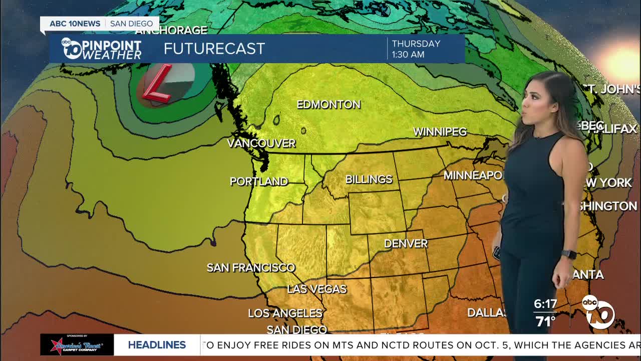
A trough brewing off the coast of B.C. gradually dips south, increasing onshore flow. It'll help continue the cool down and drop humidity levels. Conditions will finally start to feel comfortable through the weekend.
You'll start to notice the marine layer rebounding along the coast and valleys each morning this week before mixing out by the afternoon.
The rain deficit in San Diego has dropped below 3" after recent rains which is wonderful as we are nearing the end of the water year which is September 30th. Even more beneficial to get this rain before Santa Ana season this fall.
Monsoon moisture looks to briefly return Tuesday and Wednesday next week which will pump in higher humidity, though not as oppressive as the last few days from Kay. We may see a few showers and thunderstorms over the mountains and deserts. Cooler and drier air returns again by the end of next week.
Tuesday's Highs:
Coast: 72-79°
Inland: 77-84°
Mountains: 70-83°
Desert: 95-99°
For the latest news, weather and traffic updates, follow Vanessa Paz on Facebook, Twitter and Instagram.


