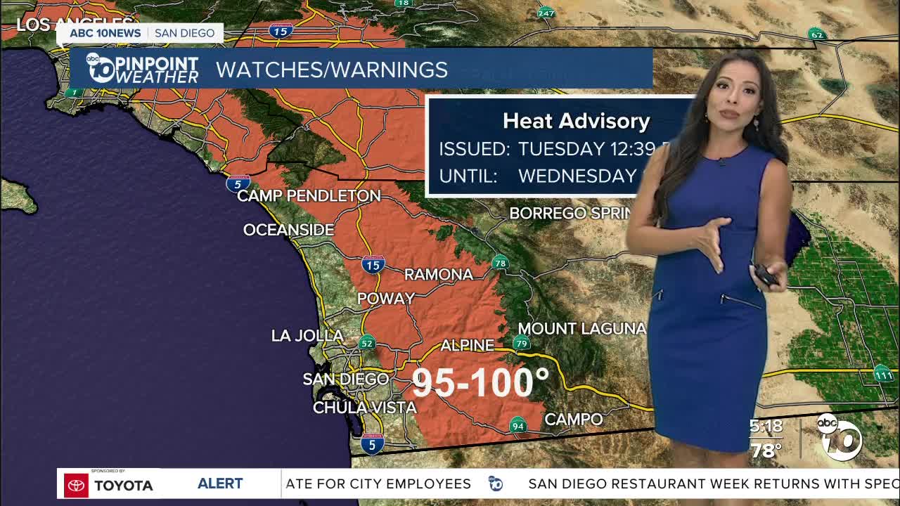
Today is the last day of summer and we finished the season with record heat in in Alpine and tied records in Vista and Ramona. Temperatures will continue to heat up as we enter the fall season.
Inland communities will experience the hottest temperatures, potentially averaging close to 15 degrees above normal on Wednesday.
A Heat Advisory is in effect for the inland valleys through 8pm Wednesday, as temperatures soar between 95 and 103 degrees.
Weak to mild Santa Ana winds will elevate the fire danger from the valleys to the mountains with east and northeasterly winds of 15 to 25mph, and humidity between 10 and 20%.
Temperatures will gradually start to drop Thursday, but humidity will be rising as monsoon moisture surges back into our county. There is quite a bit of uncertainty with the monsoon forecast, currently there is a slight chance for showers and thunderstorms with peak activity in the mountains. A slight chance for monsoon activity may continue through the weekend in the mountains.
Temperatures return to normal this weekend with low to mid-70s at the coast, low to mid-80s inland, 70s in the mountains, and right around 100 in the deserts.
The marine layer will deepen late week; with clouds and patchy fog overnight into the early morning hours before clearing and turning mostly sunny.
The Autumnal Equinox happens at 12:21 pm. The word equinox derives from Latin. Equi means equal and Nox means night; meaning most of the planet will get the same amount of day and night. It's also the halfway point between the longest and shorts days of the year.
Wednesday's Highs:
Coast: 75-88°
Inland: 95-103°
Mountains: 90-97°
Deserts: 103-108°
Follow ABC 10News Meteorologist Angelica Campos on Facebook & Instagram @Camposcrusher and Twitter @10NewsCampos


