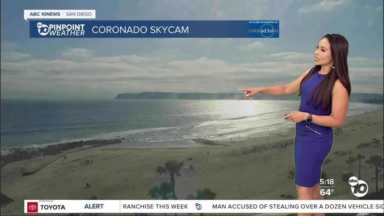
The May Gray pattern will continue near the coast this week with an early surge of monsoon moisture making it a muggy week around the county.
The added moisture from the marine layer and the monsoon flow may produce mist to patchy drizzle at times, especially in the early morning hours.
Temperatures will be coolest along the coast, but warmer by 5 to 10 degrees above average in the valleys, mountains, and deserts.
We are locked in a weather pattern with a ridge of high pressure sitting over the center of the country pulling in moisture from the Gulf of Mexico right into the 4-Corners region, the flow will veer closer to us through the weekend keeping the chance for a slight chance of showers and thunderstorms, mainly near the mountains. This patter is also known as monsoon flow, which is about a month early.
Any thunderstorm may be capable of producing gusty winds and lightning. While not likely, it's not impossible to see a storm spill over into the valleys.
The warm and muggy weather sticks around into the weekend with monsoon flow ending next week as drier air filters in thanks to a storm moving into the Pacific Northwest. The air will be drier and cooler starting early next week.
Wednesday's Highs:
Coast: 65-70°
Inland: 75-82°
Mountains: 72-88°
Deserts: 99-105°
Follow ABC 10News Meteorologist Angelica Campos on Facebook & Instagram @Camposcrusher Twitter @10NewsCampos


