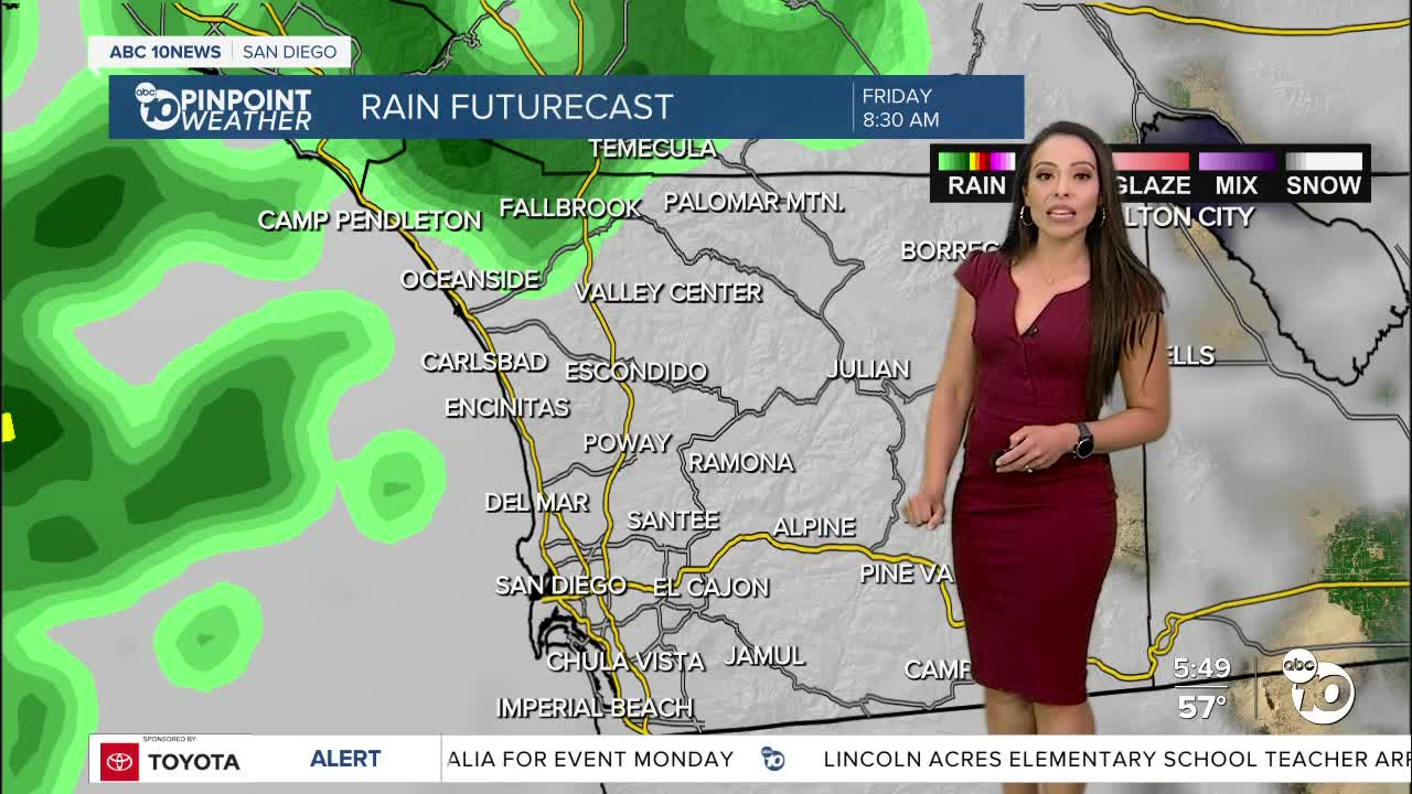
Warmer on Thursday with rain and gusty winds returning Friday and Saturday.
An atmospheric river will target northern and central California starting Thursday into Friday, the storm will track south becoming weaker as it arrives to San Diego on Friday into early Saturday morning. This will be a much warmer storm than any of the previous ones we've seen this season leading to high snow levels, potentially over 8,000 feet, which means snow is not expected in the mountains.
Preliminary forecast totals will range between 0.25 to 1.00" from the coast to the mountains with little accumulation expected in the deserts.
Gusty winds will target the mountains and deserts each afternoon and evening with westerly gusts of 20 to 45mph; stronger winds develop Friday accompanying the atmospheric river.
Warmer days on tap early next week with another round of wet weather possible Tuesday and Wednesday. Spring is just around the corner; it begins March 20th so let the countdown begin.
Wednesday's Highs:
Coast: 64-69°
Inland: 67-72°
Mountains: 60-66°
Deserts: 72-77°
Follow ABC 10News Meteorologist Angelica Campos on Facebook, Instagram @camposcrusher and Twitter @10NewsCampos.


