

A low-pressure system stalled to our east continues to usher in mountain snow, valley rain, and pop-up thunderstorms.
Friday evening continues seeing heavy activity on the radar, but conditions are expected to dry out overnight into Saturday morning.
Parts of north county saw thunderstorms resulting in heavy downpours, hail, and periods of gusty winds.
Yesterday, several neighborhoods reported hail ranging in size from .25" to .50".
The snow level plummeted to nearly 4,000 feet overnight, bringing snow to Julian and Mount Laguna. Snow is transitioning to rain as the atmosphere starts to warm up.
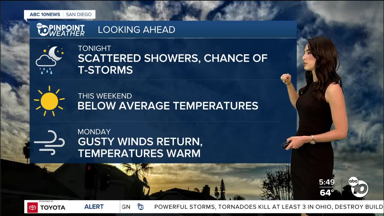
As the storm system slowly exits, we'll continue to have the chance for scattered showers through Sunday, especially for the mountains. This weekend will be a transition period into a warming pattern early next week.
By Monday, temperatures will soar into the 70s along the coast and near 80 inland. Looking ahead to next weekend, we could have another chance for showers.
Saturday's Highs:
Coast: 65-67°
Inland: 66-69°
Mountains: 51-58°
Deserts: 69-73°
For the latest news, weather and traffic updates, follow Vanessa Paz on Facebook, Twitter and Instagram.
