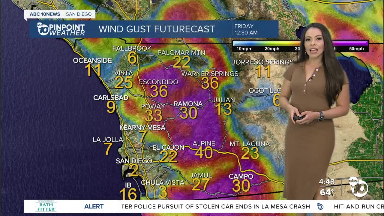
Spring-like temperatures over the next few days, with mild Santa Ana winds in place.
Above normal temperatures are expected starting tomorrow through Friday, as easterly winds continue for the rest of the week. Another round of moderate Santa Ana winds Thursday into Friday. Strongest winds will peak late Thursday into early Friday. Potentially gusting between 30-45 mph.
The pattern will shift this weekend with possible showers as early as Saturday afternoon into Sunday. Temperatures will drop to below normal with an average temperature drop of 10 to 15 degrees from Friday to Saturday.
Light rain will be possible Monday over the mountains and deserts as the storm moves east but we dry out during the day. Another storm could follow with colder temperatures and another chance for rain on Tuesday and Wednesday. We could potentially see snow Tuesday night into Wednesday in our mountains.
As far rain totals, accumulations have been trending light in the hundreds of an inch for the weekend, but now the models are hinting at tenth of an inch or even a quarter of an inch. Enough rain to help our water year, and not too much to create concerns on the roads like the last couple of storms. San Diego needs just under 2 inches of rain to get this year's rainfall total of 9.79 inches, total rainfall so far is 7.88" in San Diego.
Wednesday's Highs:
Coast: 66-71°
Inland: 70-74°
Mountains: 57-66°
Deserts: 72-75°
Follow ABC 10News Meteorologist Angelica Campos on Facebook and Instagram @Camposcrusher and Twitter @10NewsCampos


