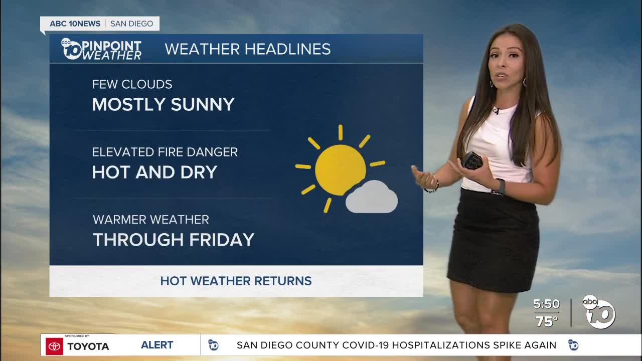


We have seen a warm up this week, but it's only getting started. The warmest days this week will be Wednesday through Friday.
As high pressure builds over the region, it will suppress the marine layer with only a few clouds near the coast and mostly sunny skies. We do expect another day of patchy smoke and haze due to the fires burning up north. The air quality is moderate, so not a major concern for outdoor activities unless you are sensitive and have respiratory conditions.
The Excessive Heat Watch was upgraded today to an Excessive Heat Warning; it will be in effect for the deserts from 10am Wednesday through 9pm Friday. Temperatures will range between 108 to 116 degrees.
The warmer coastal areas will see 80s, well into the 90s inland and even low 90s in the mountains.
Temperatures drop slightly by the weekend, but it won't feel that much better as humidity will return along with monsoonal thunderstorms for early next week. Sunday will bring a slight chance for a pop-up showers or thunderstorms over the mountains, better chances on Monday on Tuesday for our mountains and deserts.
We'll likely see it return a few more times before the end of the season in September.
Wednesday's Highs:
Coast: 74-80°
Inland: 87-92°
Mountains: 89-98°
Deserts: 108-113°
Follow ABC 10News Meteorologist Angelica Campos on Facebook & Instagram @Camposcrusher and Twitter @10NewsCampos
