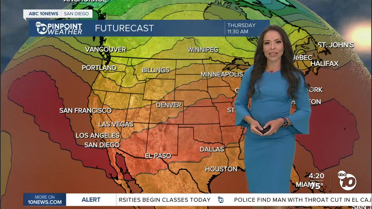


Warmer weather is set to return with summery conditions for the rest of the week, potentially becoming excessive in our deserts by midweek.
Temperatures will continue to warm up on Tuesday, with temperatures increasing by 5 to 10 degrees. The biggest temperature jump will happen in our inland communities all the way to the deserts. On Tuesday we'll notice hazy skies due to smoke moving south from the fires burning in Northern California; patchy smoke and hazy skies are possible.
We expect the number to go up another 5 degrees or so on Wednesday. Our deserts will be close to 115 degrees. An Excessive Heat Watch will be in effect for Wednesday at 10am until Friday at 9pm.
The rest of the county will be warm too with temperatures in the 80s at the coast and 90s inland. The hottest days will be Wednesday through Friday, though it will be a drier heat with less marine layer influence and lack of monsoon moisture. The combination of high heat and low humidity will elevate fire danger from Wednesday until Saturday.
Breezy at times in the mountains and deserts with westerly gusts of 15 to 35mph while the coast and inland areas will see winds less than 15mph.
The heat tapers off slightly by the weekend, though humidity will be trending upward as monsoon moisture begins to surge west. While we've had a break in monsoon moisture for a couple of weeks, we'll likely see it return a few more times before the end of the season in September.
Tuesday's Highs:
Coast: 73-78°
Inland: 87-95°
Mountains: 85-94°
Deserts: 104-109°
Follow ABC 10News Meteorologist Angelica Campos on Facebook & Instagram @Camposcrusher and Twitter @10NewsCampos
