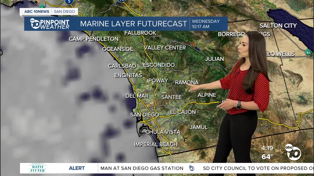
Sunnier and warmer Wednesday, but clouds remain near the coast at night and early morning.
Tomorrow will be warmer and sunnier, as the marine layer weakens, and high pressure takes over the region. We'll start the day on Wednesday with a robust Marine layer, but clouds will clear quickly inland, giving way to sunshine near the 15 before 9am. Coastal communities will see clouds for a few more hours, with the best chance for sunshine from late morning into early afternoon.
High pressure building over the west coupled with mild Santa Ana winds late week, will lead to a bump in temperatures this weekend.
Temperatures will warm 5 to nearly 15 degrees by Saturday, the warmest day of the week, with highs 5 to 10 degrees above average. The winds will be out of the northeast at 15 to 30mph for the inland and mountain areas.
Cooling begins Sunday but it will be more noticeable on Monday, as a trough of low-pressure dives south and our ridge shifts over the four corners. The marine layer will be back in time to start our gray month of May.
Wednesday's Highs:
Coast: 66-72°
Inland: 76-85°
Mountains: 74-82°
Deserts: 94-96°
Follow ABC 10News Meteorologist Angelica Campos on Facebook & Instagram @Camposcrusher and Twitter @10NewsCampos


